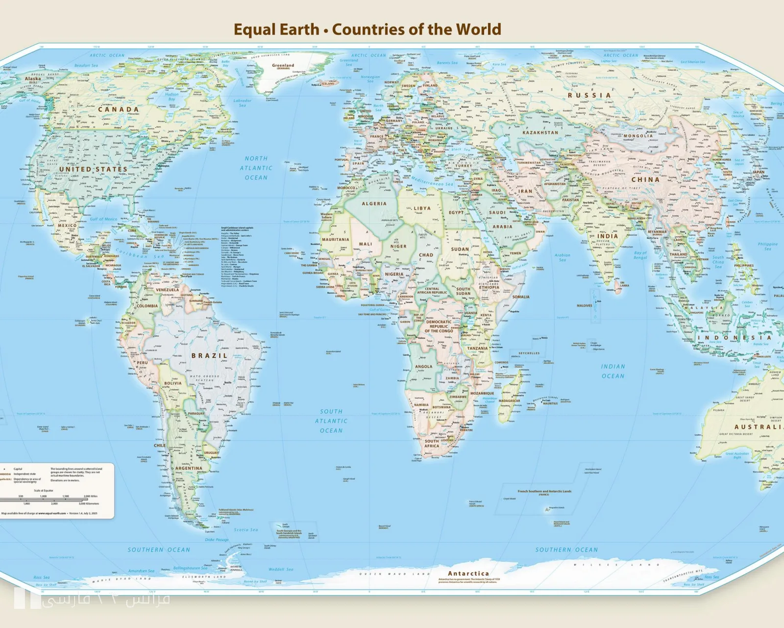
Following the approval of the new world map by the United Nations, Japan has strongly protested the way the Kuril Islands are depicted on this map. This map, known as the "true map," not only significantly enlarges the African continent compared to its actual size but also reduces the sizes of Europe and North America. These changes not only cause confusion in geographical understanding but also seem to exacerbate tensions in the Asia-Pacific region.
Kuril Islands; A Turning Point in Tensions
Japan claims that this map is designed to depict the Kuril Islands as part of Russian territory, while Tokyo still considers these islands under its sovereignty. This issue is a historical and sensitive topic in the relations between the two countries, and any change in the way these islands are represented could have serious political and diplomatic repercussions. Japanese officials have clearly stated that this map negatively impacts national sentiments and the identity of the Japanese people, and they believe that this issue must be addressed firmly.
Reactions to the New Map
The approval of this map has also faced strong reactions and severe criticisms from the United States. Washington has emphasized the necessity of correcting the geographical inaccuracies in this map. This issue is not limited to tensions between Japan and Russia but could also influence global policies regarding borders and sovereignty.
It seems that in today's world, maps are not just tools for displaying geography but can also be used as political and diplomatic instruments. Given this situation, it remains to be seen whether the United Nations will respond positively to Japan's demands.