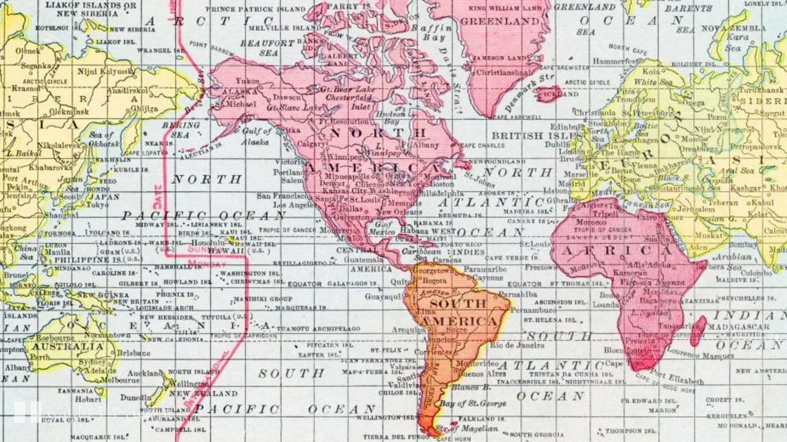
Maps are not just images of the earth; they tell stories. Stories that stem from the history, politics, and even culture of each region. With the adoption of the new United Nations map to show the true size of the African continent, attention has once again been drawn to the accuracy and fairness of world maps.
Africa in the Spotlight
Africa, as the second largest continent in the world, has always been influenced by the perceptions and images presented of it. Old maps depict this continent as smaller than it actually is, and this not only harms our understanding of geography but can also have profound effects on international relations and economic policies.
With the adoption of the new map, it is expected that a more accurate representation of the African continent will be presented globally. This action is somewhat an effort to rectify historical inequalities in the geographical representation of different regions of the world. But will these changes truly impact our understanding of the world?
World Maps and Cultural Biases
Maps have always been influenced by cultural and political biases. Many maps, especially those designed in the West, reflect specific views regarding the power and geographical significance of different regions. For example, the African continent is disproportionately shrunk in many of these maps, while other continents are displayed larger and more important than they actually are.
This situation not only leads to a misunderstanding of geography but can also have profound effects on global policymaking, economic development, and even cultural interactions. Therefore, there is a need to reconsider how maps are drawn and to pay attention to geographical realities.
Ultimately, maps are not just tools for representing realities; they are mirrors of our views of the world. Thus, changes in them can lead to deeper changes in our thinking and behavior towards other cultures and geographical areas.